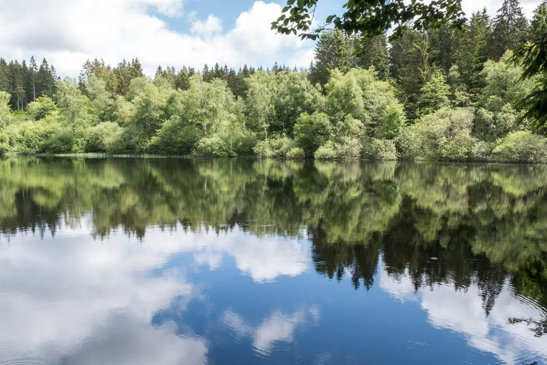
With a height of 901 meters, Le Haut-Folin is the highest mountain in the Morvan. This walk goes through the vast forests to this summit. The lake of Préperny is a beautiful eye-catcher in this endless forest.
Distance: 11 km.
Time: 3h00.
Grade: Easy.
Type: Circular.
Gps Track: Yes.
Route description: Yes.
Wheelchair: Not suitable.
Dog: Allowed.
Height gain: 350 meters.
Trail: 96% unpaved.
Marking: Orange arrow.
Hiking shoes recommended.
Advertisement.
Boucle du Bois du Roy.
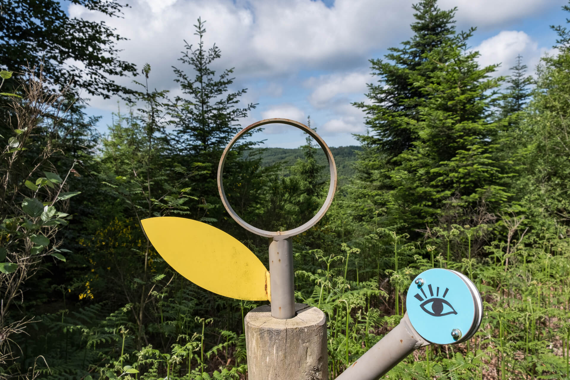
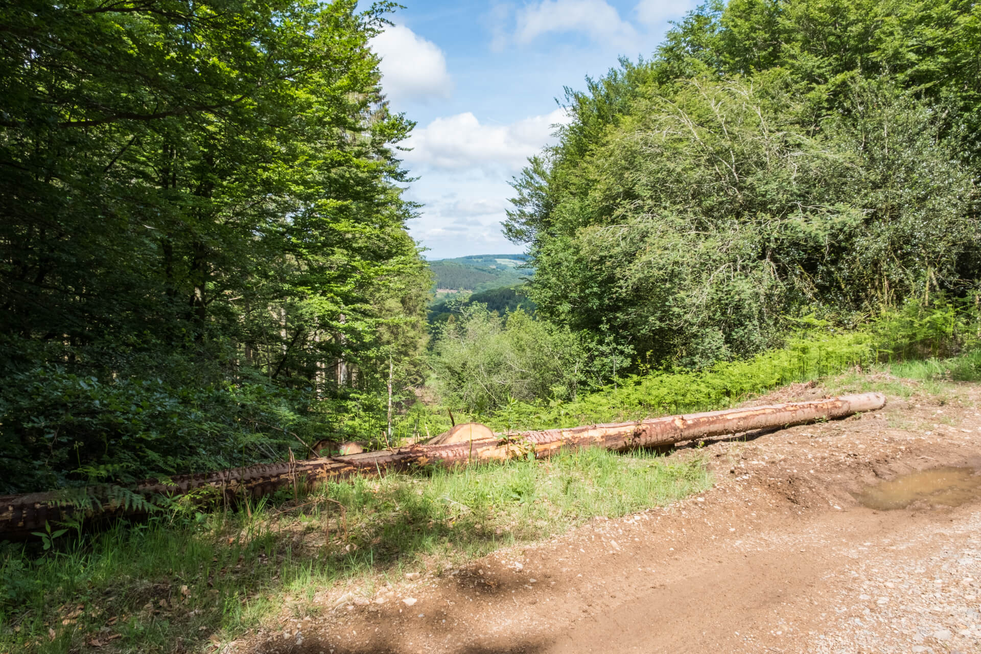
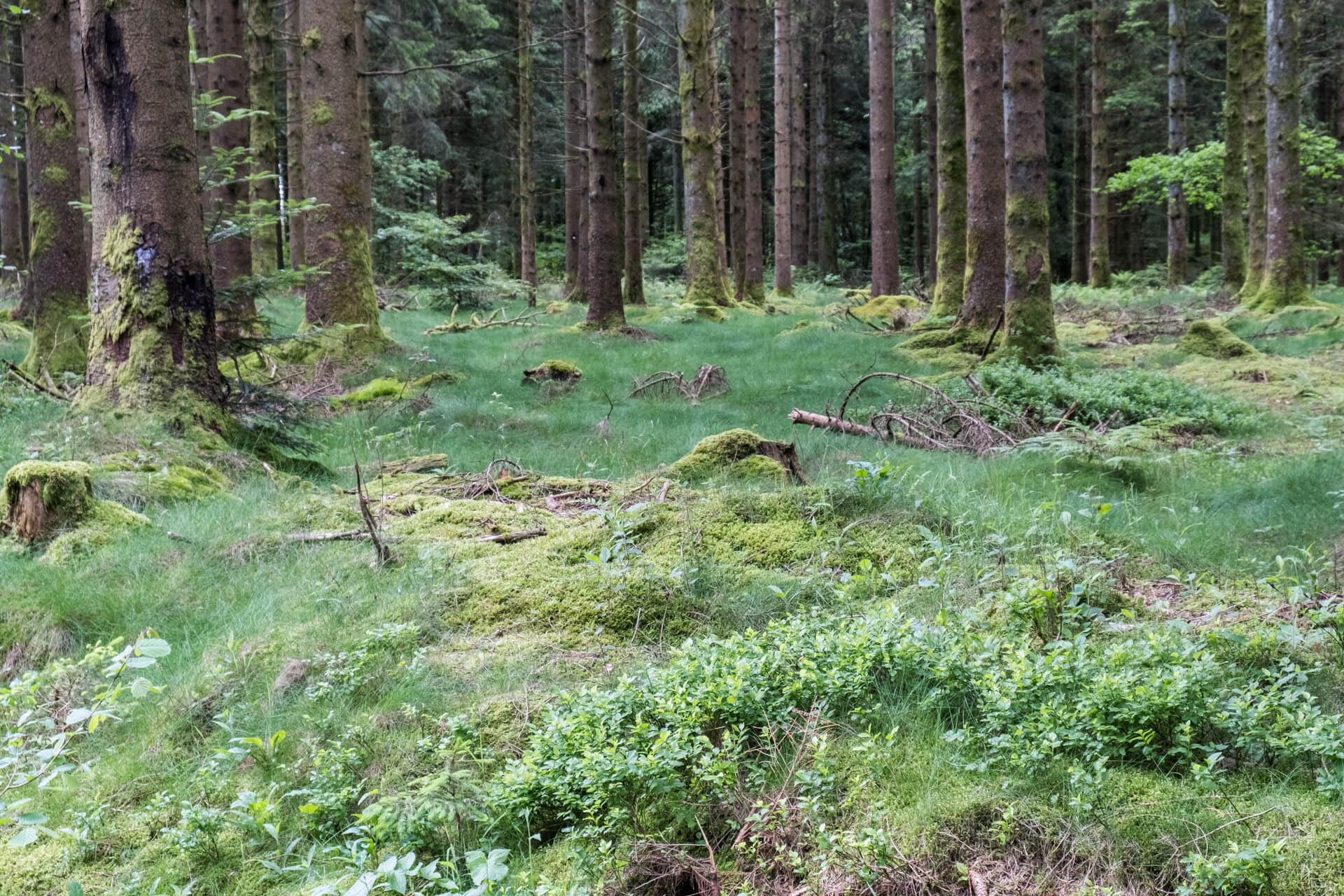
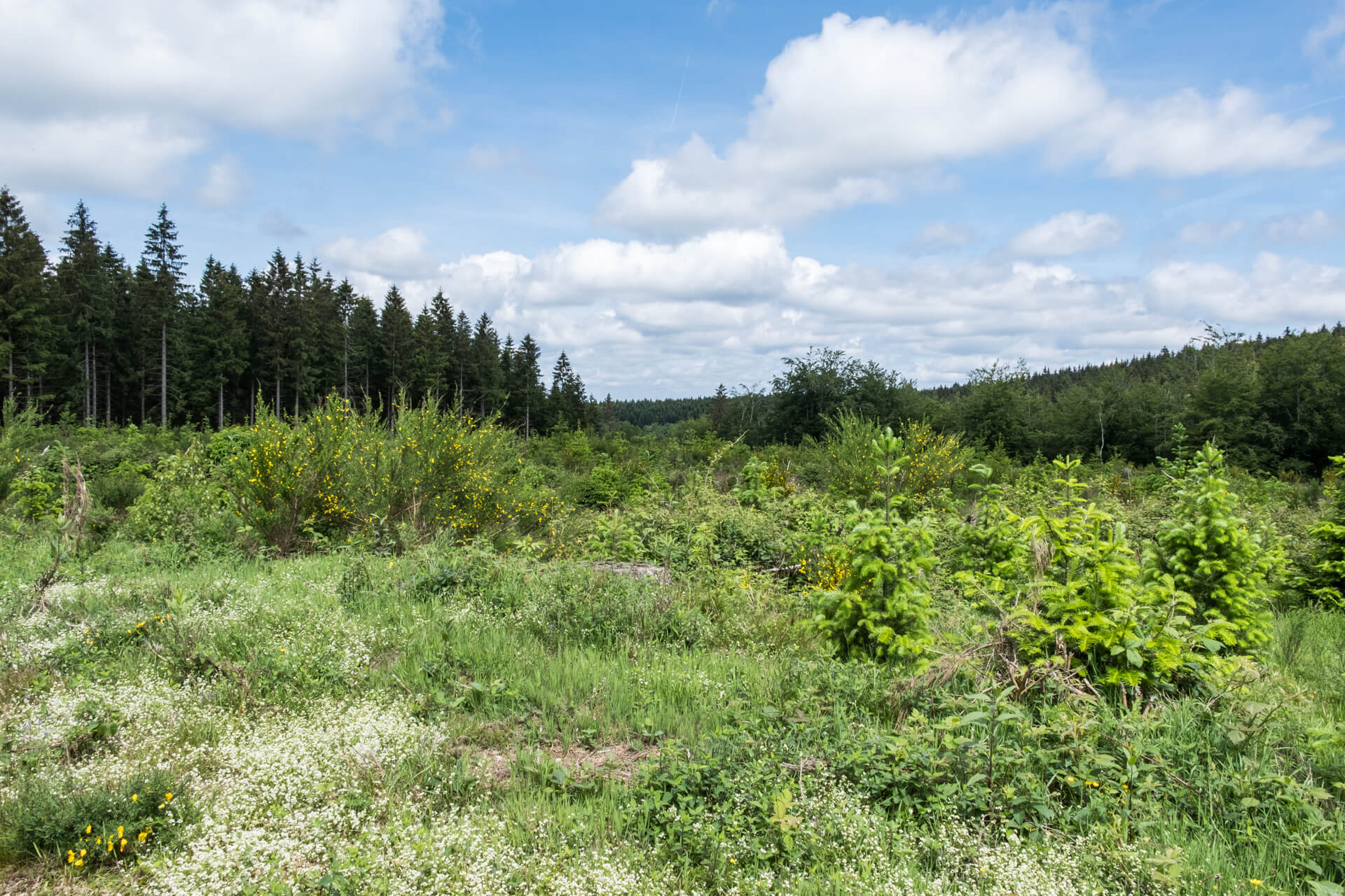
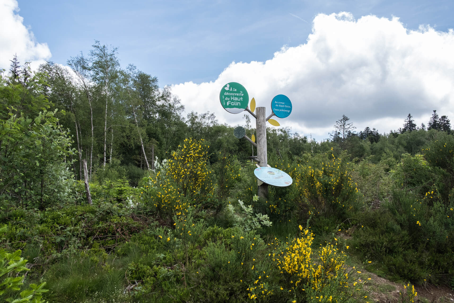
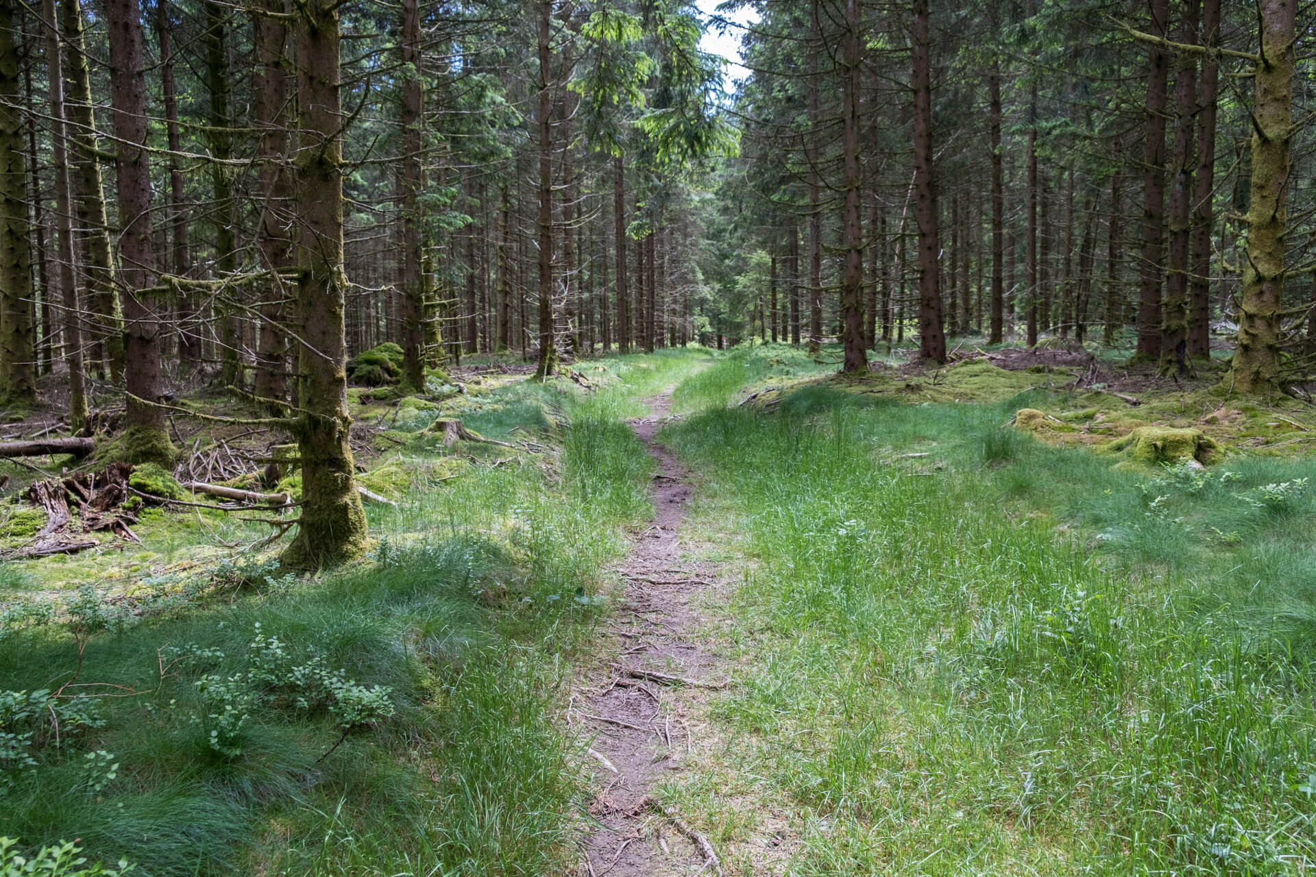
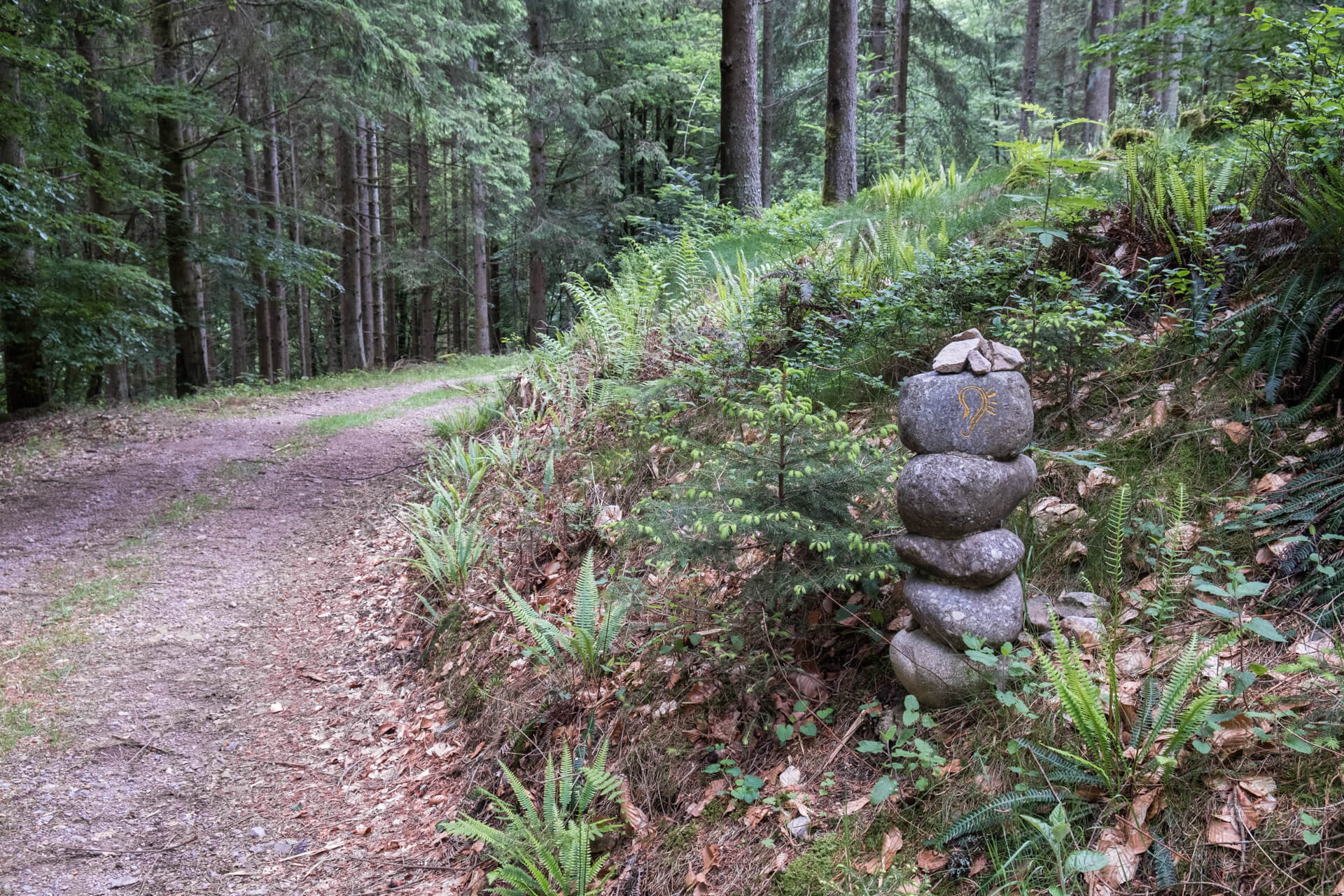
At the starting point you immediately dive into the forest and soon you only hear the sounds of the forest and the crunching of branches or stones under your walking shoes. The route goes along wide unpaved forest roads and narrow forest paths towards Lake Préperny at the foot of Le Haut Folin. Then it goes towards the summit where you should not expect a panorama but the straight spruce of the Morvan. You descend back towards the departure point at the large radio tower. Along the way various information boards were placed with useful facts about this area. The granite cairns you see on the way are also original.
Download PDF for route description.
Well marked.
POI 1 - Le Haut Folin.
The Haut-Folin is with a height of 901 meters the highest mountain of the Morvan, and thus also of Burgundy. On the west flank of the massif the river Yonne, a tributary of the Seine, rises. The Haut-Folin is thus the highest point of the river basin of the Seine. The mountain is flattened and densely wooded, so there is no question from the top of beautiful views.
No additional information.