
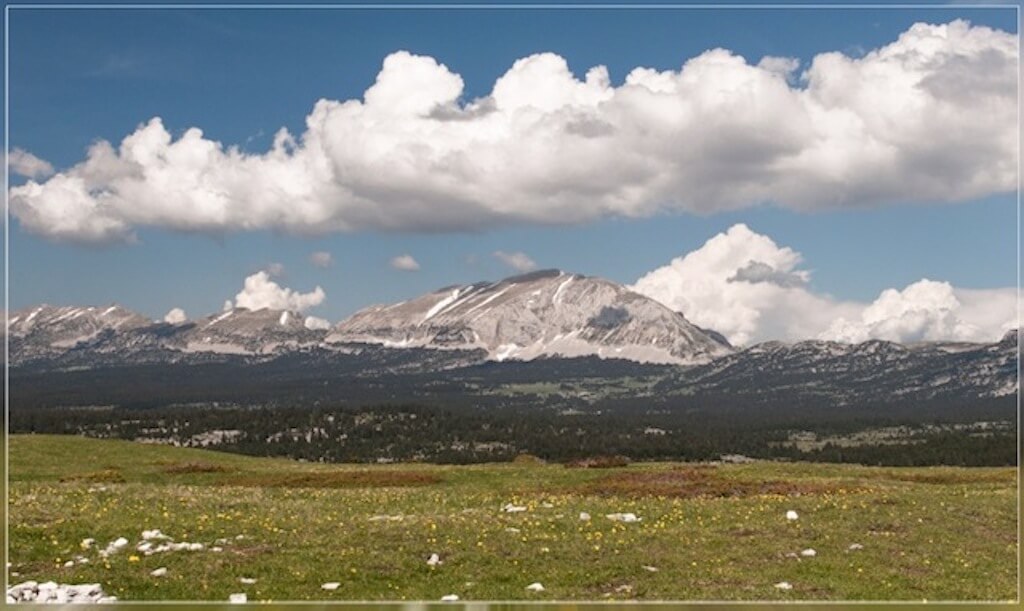
The Isère department has a large landscape variation, with the lowest point being 133 meters above sea level and the highest point being the 4,102 meters high Barre des Écrins. In the department there are several mountain ranges, including the Écrins, the Belledonne, the Vercors and the Chartreuse.
{tabber=title="Departement Isère" class="green solid"}
{load_gf_map 22}
Regions in the Isère.
Chartreuse.
Chartreuse is best known for a herbal liqueur named after the Carthusian monastery in the French Alps and prepared by Carthusians from the Grande Chartreuse near Grenoble. The drink is made from 130 different plants, (Alpine) herbs and spices. The basis of all liqueurs is the elixir, still made according to the complicated recipe that the monks got in possession in 1605, and was already considered very old. The very special relief of this massif in the Prealps offers you wonderful forests and a mosaic of varied landscapes: wild mountain streams, steep rocky slopes, high alpine meadows and hidden villages in the hollows of fields and valleys.
Vercors.
The Vercors is a more than 150,000 ha limestone plateau just southwest of Grenoble. In the north the plateau is bordered by the river Isère, in the east by the river Drac and in the south the Drôme flows. The Parc Régional du Vercors consists of largely inhospitable highlands between 1400 and 2000 m. In the north of the Vercors, the landscape is more accessible and you will find more villages. The landscape of the Vercors is dominated by perpendicular walls of limestone and marl layers.
{/tabbers}