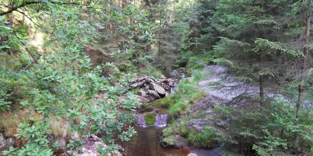
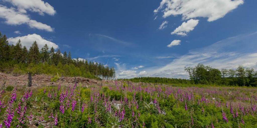
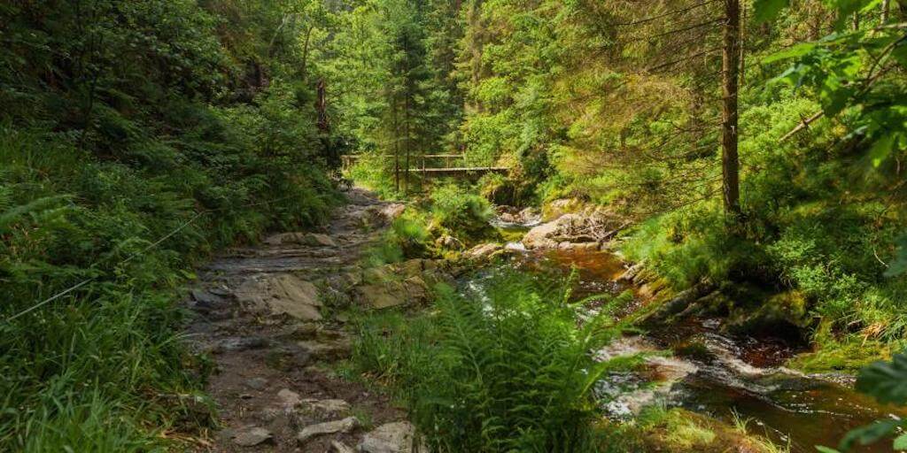
From the farm Libert the road quickly disappears in the forest in the direction of the stream Trôs-Marets. On the completely barren hill you have an unobstructed view of the area and on the hamlet of Mont. You will soon return to the semi-darkness of the pine trees. The small wooden bridge spans the foamy stream and offers an unobstructed view of the water that contains peat and iron. The deciduous forest reaches to the water: a perfect spot for photos. The road rises sharply in the upstream direction and offers a view down on the entire landscape. In the forest you will find a charming shelter at the spot 'Moûpa' where you can stop for a while. Along the Targnon stream the road descends into the valley, passing a small heathland and a wildlife park before returning to the farm Libert.
Distance: 9 km.
Time: 3h00.
Grade: Moderate.
Type: Circular.
Gps Track: Yes.
Route description: Yes.
Wheelchair: Not suitable.
Dog: Allowed.
Height gain: 228 meters.
Trail: 99% unpaved.
Marking: Yellow rectangle - red rectangle - yellow cross.
Hiking shoes recommended.
Advertisement.
At the edge of the High Fens.
Variant: You can extend the walk with 5 km (only with a map!). Attention: When a red flag is hoisted on the parking lot behind the street, the peat is not accessible.
Download PDf for route description.
The marking in the upper part of the ravine is totally incomprehensible, you are requested to respect the route description.
POI 1 - Trôs-Marets.
The Trôs-Marets is a tributary of the Warche, part of the basin of the Meuse. This stream has its origin in the Fagne de Sotay and runs through the Ardennes forest between imposing blocks of quartzite and sandstone. In Bevercé the Trôs-Marets ends in the Warche.
Maison du Tourisme des Cantons de l'Est.
www.ostbelgien.eu.