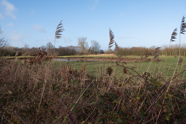
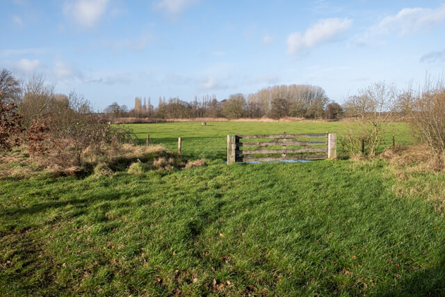
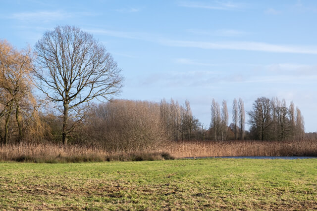
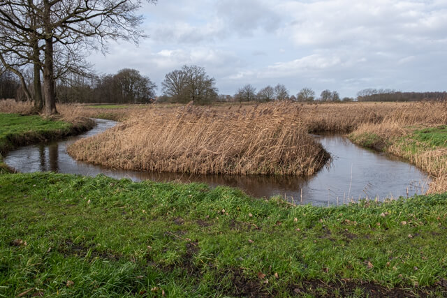
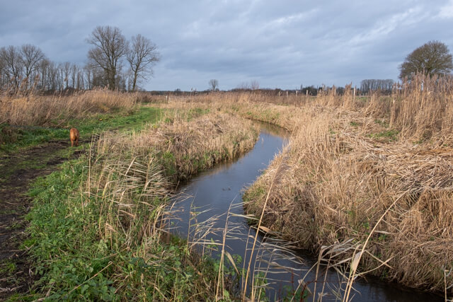
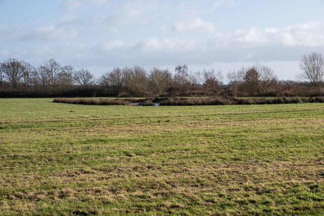
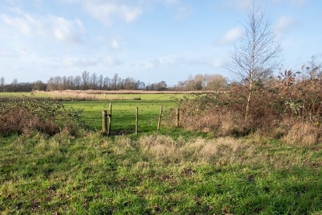
This cross-border hike in the Merkske valley goes through the Manke Goren and De Broskens nature reserves. There is no shortage of nature on this route, fields and forest are interspersed with pools, wood edges, meadows and wet meadows. The meandering streams Merkske and Markske are the eye-catchers.
Distance: 13 km.
Time: 3h30.
Grade: Moderate.
Type: Circular.
Gps Track: Yes.
Route description: Yes.
Wheelchair: Not suitable.
Dog: Allowed.
Height gain: Flat.
Trail: Paved and unpaved.
Marking: Walking nodes.
Hiking shoes recommended.
Advertisement.
Meandering streams.
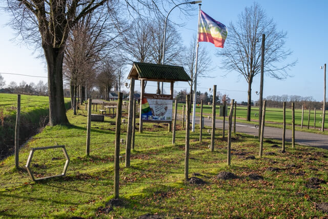
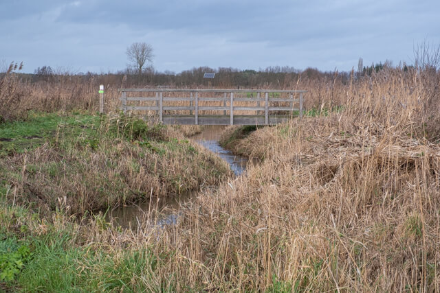
The walk starts in Zondereigen, a typical Kempen rural village that belongs to the municipality of Baarle-Hertog. Through an open landscape you walk around the village through fields and meadows in the direction of the peace monument De Dodendraad. From the monument you walk to the Dutch nature reserve De Manke Goren. The Manke Goren are not limping. They were swamps at the Markske, so Marke Gooren. You walk through this area along the Wildert to the next nature reserve De Broskens. This area is higher than the Manke Goren and consists of wet meadows with pools, wood edges and meadows. Then it goes through a more open landscape in the direction of the Merkske stream. You follow the banks of this beautiful meandering stream to get back to Belgium. Along the edge of the forest you walk in the direction of Markske, the second meandering stream. Via a bridge you cross the stream and you come to the Vossenberg. The Vossenberg is a castle mountain excavated in 1957 from the 11th or 12th century. A little further you walk through the hamlet of Ginhoven and along the fields of Ginhoven, a field complex where people have been present for around 80,000 years, from hunters, gatherers to farmers.
Download PDF for nodes to follow.
Hiking shoes recommended because some paths can be very swampy.
POI 1 - Peace monument De Dodendraad.
Peace Monument De Dodendraad recalls the electric border barrier that was established by the German army on the Belgian-Dutch border during WW1. Attempts were made to stop recruits for the Belgian army and other illegal border traffic.
Heemkunde Kring Amalia van Solms.
www.dodendraad.org.
POI 2 - Merkske Valley.
Merkske, a tributary of the Mark, forms the natural border between the Netherlands and Belgium. The Merkske valley guarantees more than 1000 hectares of exceptional nature. This narrow and winding river rises as Noordermark in 'het Moer' in Belgium (Merksplas). Because the Merkske valley has remained in the forgotten corner for a long time, nature on both sides of the border has had its way for years. Rare plant species therefore occur in the area. All kinds of birds, amphibians and other animals also benefit from the tranquility and natural richness of the area. The valley also has great cultural-historical value. The Vossenberg is a castle mountain excavated in 1957 from the 11th or 12th century. It was an artificially raised hill with the wooden residential tower of a local gentleman on it. At the foot of this upper court was a lower court. Both were surrounded by a canal and a rampart. A piece of the shore around the court has been preserved. The Ginhoven fields is a field complex where people have been present for around 80,000 years, from hunters, gatherers to farmers. In 2004, archaeologists carried out field research in the land consolidation Zondereigen, the local history circle continued this and collected a total of 8,865 surface finds.
Natuur en Bos.
www.natuurenbos.be.