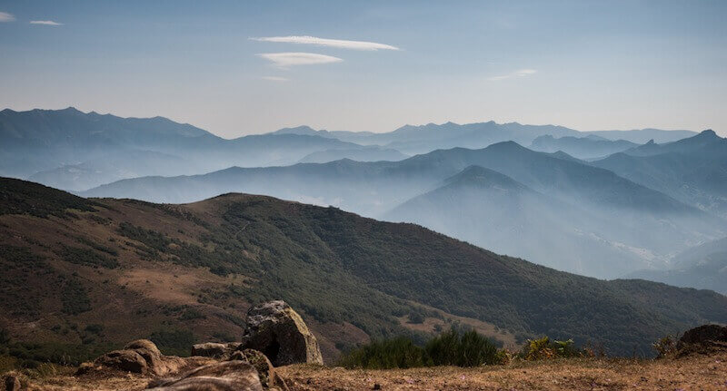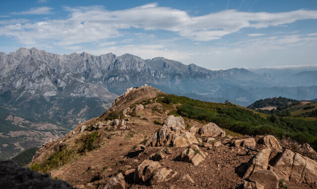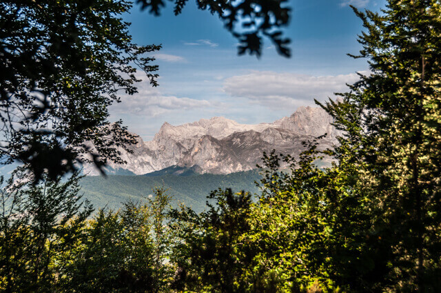
At the top of the Pico Jano you have a unique view of the Liébana valley with in the background the eastern part of the Picos de Europa, the Andara massif. The villages that you see deep in the valley are Mogrovejo and Tannario.
Distance: 9 km.
Time: 3h00.
Grade: Moderate.
Type: Circular.
Gps Track: Yes.
Route description: No.
Wheelchair: Not suitable.
Dog: Allowed.
Height gain: 602 meters.
Trail: 99% unpaved.
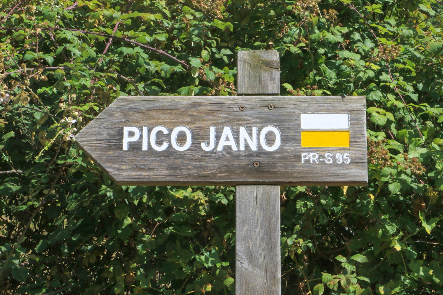
Marking: White-Yellow - PR-S95.
Hiking shoes recommended.
Advertisement.
Liébana valley.
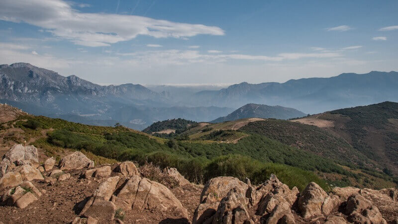
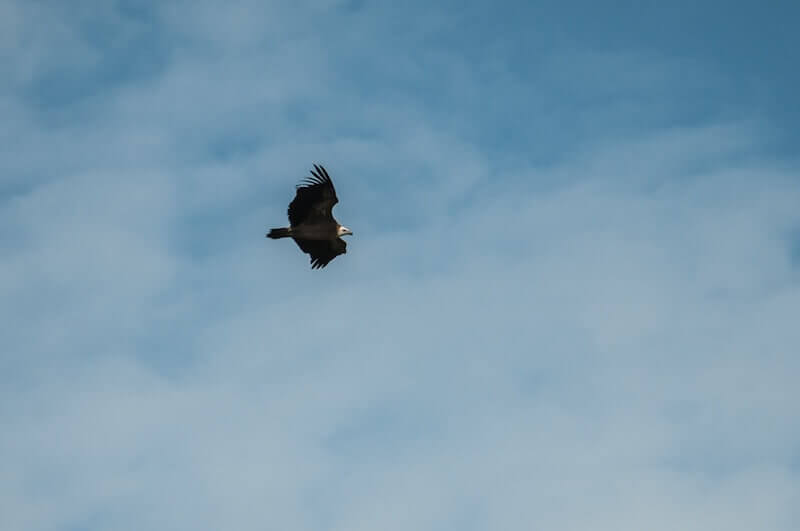
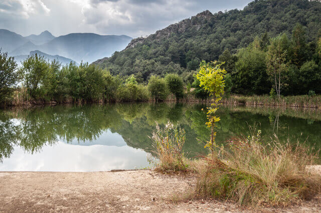
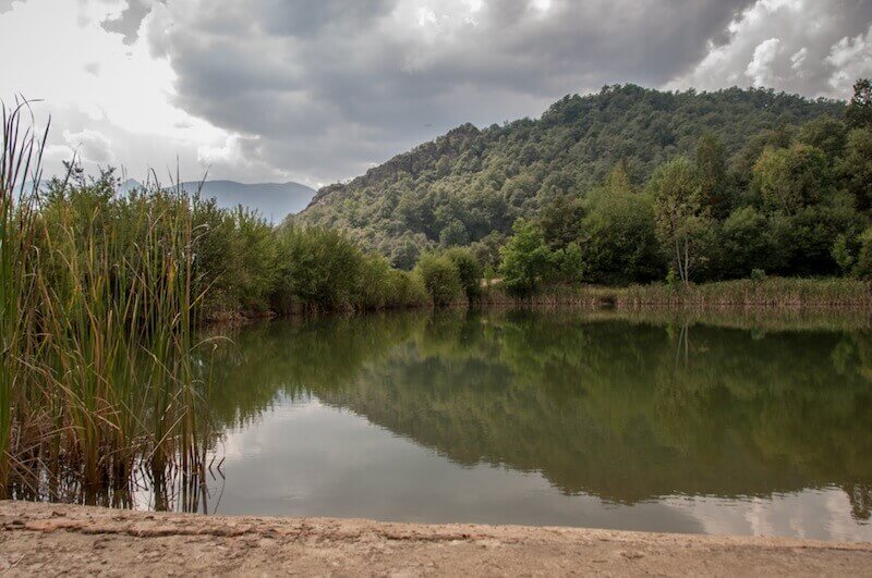
From the hamlet of Dobarganes you walk to a small lake and then climb through a forest of very old oak trees, which are heavily loaded with lichens, to an open pass. Now you start a fairly steep climb to the pass just before the top of the Pico Jano (1446 meters). In the summer you will almost certainly see herds of sheep guarded by large mountain dogs. Never go through a herd but around it. In good weather on the Pico Jano you have a beautiful view of the Liébana valley with Andara in the background, the eastern massif of the Picos de Europa. The villages that you see at the bottom of the valley are Mogrovejo and Tannario. From the top continue in a northeasterly direction, at the end of the saddle you will be presented with an extra beautiful panorama. You will almost certainly see griffon vultures floating high above the valley. From the viewpoint, turn east on the right of the saddle to a beautiful green rolling pass, the Portilla Del Angrajal. Just past the pass you dive back into the woods and start to descend. You pass la Serna, a hut where many cattle graze freely. You are now at a second lake, the Embalse De La Tejera. It is not far from the lake to the starting point.