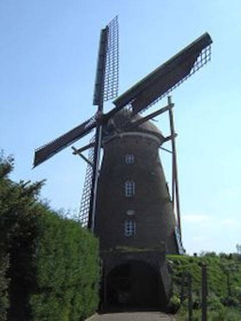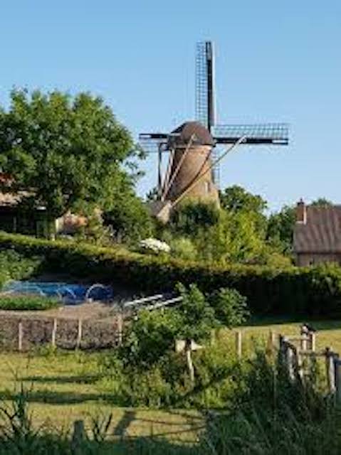
Hills in Zeelandic Flanders? Hell yes. The Molenberg is located in Biervliet. The height difference with the surrounding polders, excavated peat soils, is no less than six meters. Old maps show the Old City on an island.
Distance: 4.9 km.
Time: 1h15.
Grade: Easy.
Type: Circular.
Gps Track: Yes.
Route description: Yes.
Wheelchair: Not suitable.
Dog: Allowed.
Height gain: Flat.
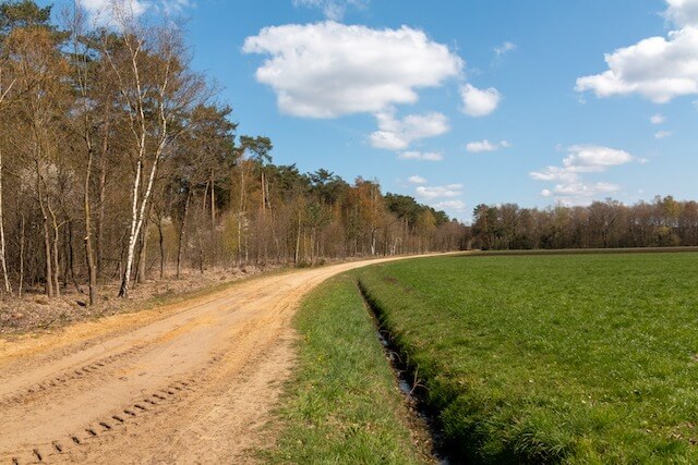
Trail: Paved and unpaved.
Marking: Walking nodes.
Hiking shoes recommended.
Advertisement.
Salty and sweet.
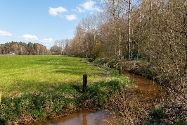
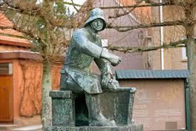
The walk around Biervliet has a salty taste. Not only because of its most famous resident Willem Beukelszoon. But also because of the years of salt extraction around the town. The salty influence is still great. Farmers experience this firsthand during drought. They cannot irrigate, while their colleagues can get fresh water from the ditch a few hundred meters away.
Download PDf for nodes to follow.
POI 1 - Groote Zoutepolder.
The Groote Zoutepolder is a polder north of Biervliet, belonging to the Polders around Biervliet. The polder was part of the Eiland van Biervliet until 1532, but it was flooded and, due to the war conditions, could not be rediked until 1619.
No additional information.
POI 2 - Our Lady Immaculate Conception Church.
The church is a former parish church in Biervliet, located at Noordstraat 45. In the Middle Ages Biervliet had two parish churches. However, the town fell into disrepair and the Reformation came, causing the parishes to disappear. Biervliet parish was re-established in 1855. The church was consecrated in 1858. It was designed by P. Soffers. In 1920 the church was expanded.
No additional information.