Westdorpe, modern activity in a changing landscape. Had the residents not fought so fiercely in the 1970s, Canisvliet would probably have been absorbed by industry by now and Westdorpe would not have had such a nice walk.
Distance: 4.8 km.
Time: 1h30.
Grade: Easy.
Type: Circular.
Gps Track: Yes.
Route description: Yes.
Wheelchair: Not suitable.
Dog: Allowed.
Height gain: Flat.
Trail: Paved and unpaved.
Marking: Walking nodes.
Hiking shoes recommended.
Advertisement.
New Zeeland.
Business activity surrounds Westdorpe: the Ghent-Terneuzen canal in the west, greenhouses in the north, the Tractaatweg to Zelzate in the east and wind turbines in the south. But when you walk the 4.84 kilometer long detour, you have no idea - especially in the summer. Every now and then a crane, factory pipe or ship will squeak between the leaves of the trees, the sound of cars or windmills just over the border come into view. Usually you walk through the green; the birds chirp, the nettles sting if you're not careful and the creek glistens in full sun.
Download PDf for nodes to follow.
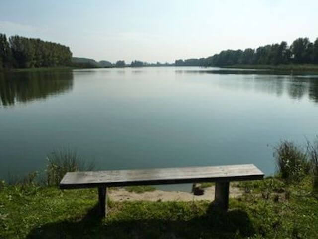
POI 1 - Canisvlietsche Kreek.
The Canisvlietse Kreek is a former tidal creek with flat banks with moist grasslands and reed beds. The creek is a weak brackish creek remnant of 13.7 ha of open water, located along the Canal from Ghent to Terneuzen and the Belgian border. Before 1962, the creek was part of a larger creek system, including the current Molenkreek near Westdorpe. The soils of the polders were low and therefore wet; the natural value was great. During the widening of the canal in 1962, the creeks got their current shape, i.e. the surrounding grounds were reclaimed with dredged material and part of the creek was filled in at the time, isolating the Canisvlietse creek from the Molenkreek. Only in the immediate vicinity of the Canisvlietse creek some natural values remained.
No additional infotmation.
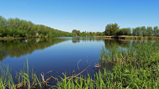
POI 2 - Canisvliet.
Canisvliet is a polder area and nature reserve near Westdorpe in the Dutch municipality of Terneuzen. The total area is 450 hectares. The nature development area is 100 hectares of this. The area is managed by Staatsbosbeheer. The area was once a tributary of the Honte. After the closure of the Graaf Jansdijk and the Sasdijk it could be partly reclaimed, creating the Canisvliet inner polder and the Canisvliet outer polder, both east of the current site. The current nature reserve remained uninhabited agricultural area, with brackish water. Land consolidation took place in the early 1960s. The ornithologist Johan van den Steen from Sas van Gent managed to prevent the area from being reclaimed with soil that was released during the widening of the Canal from Ghent to Terneuzen.
No additional infotmation.