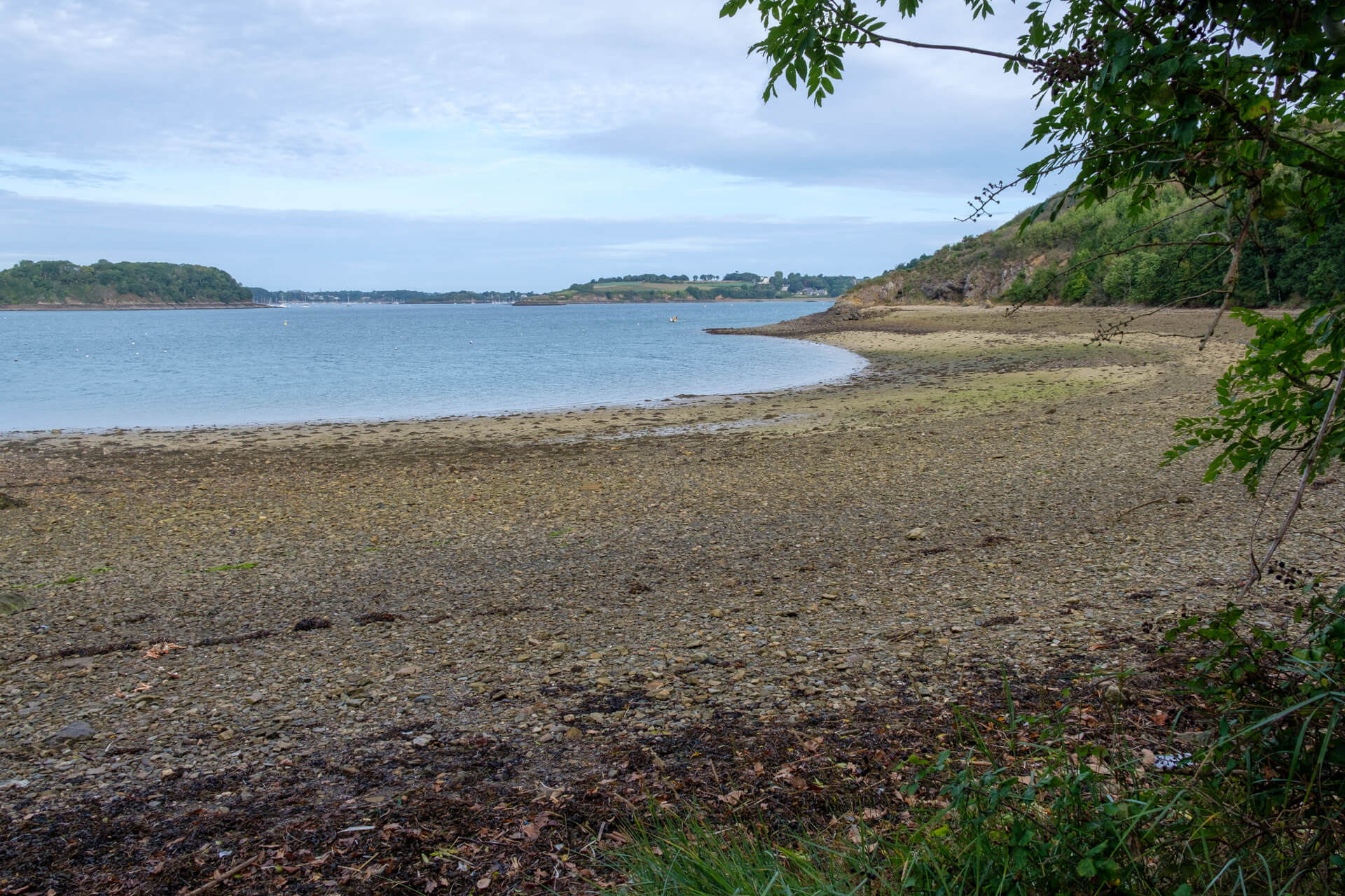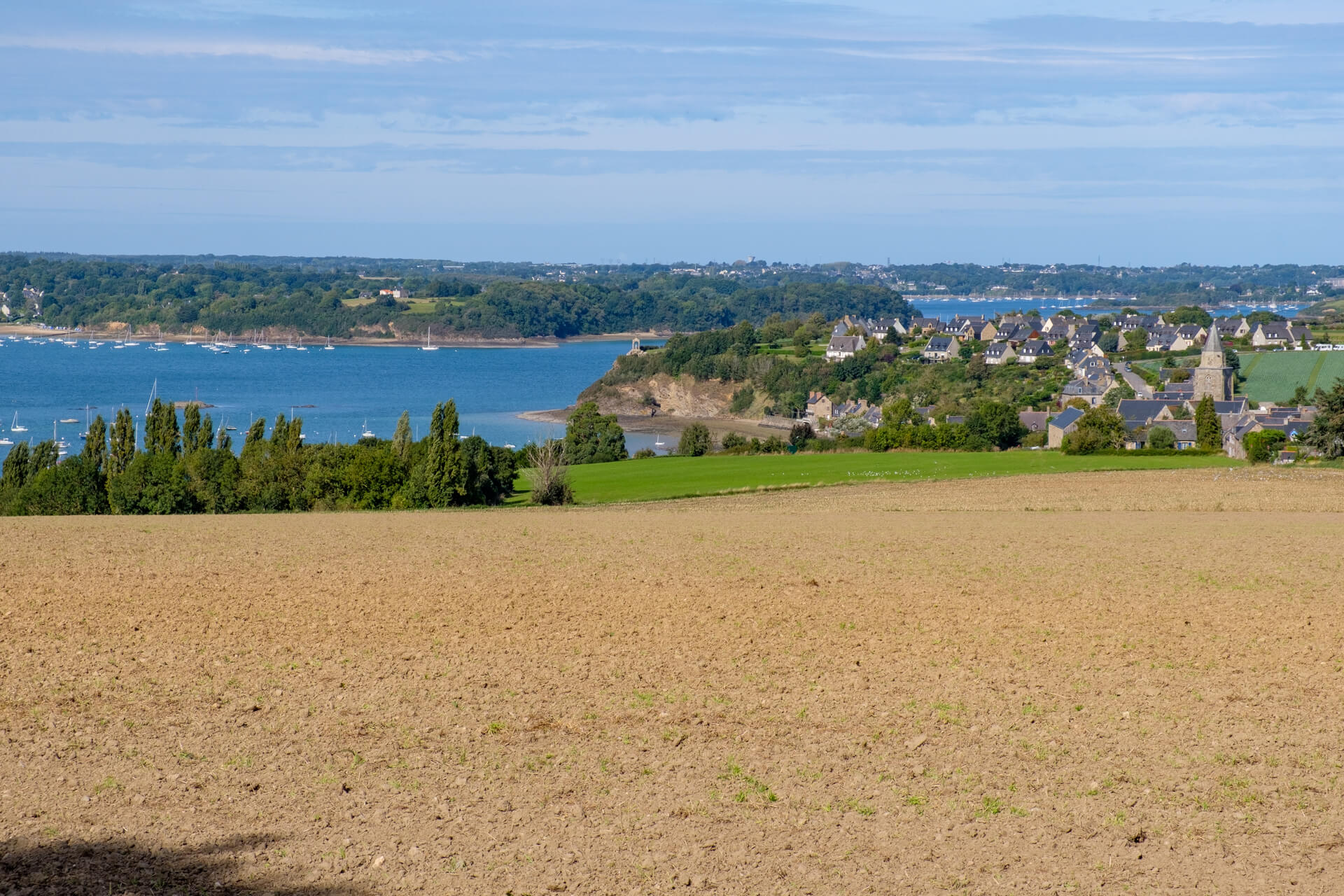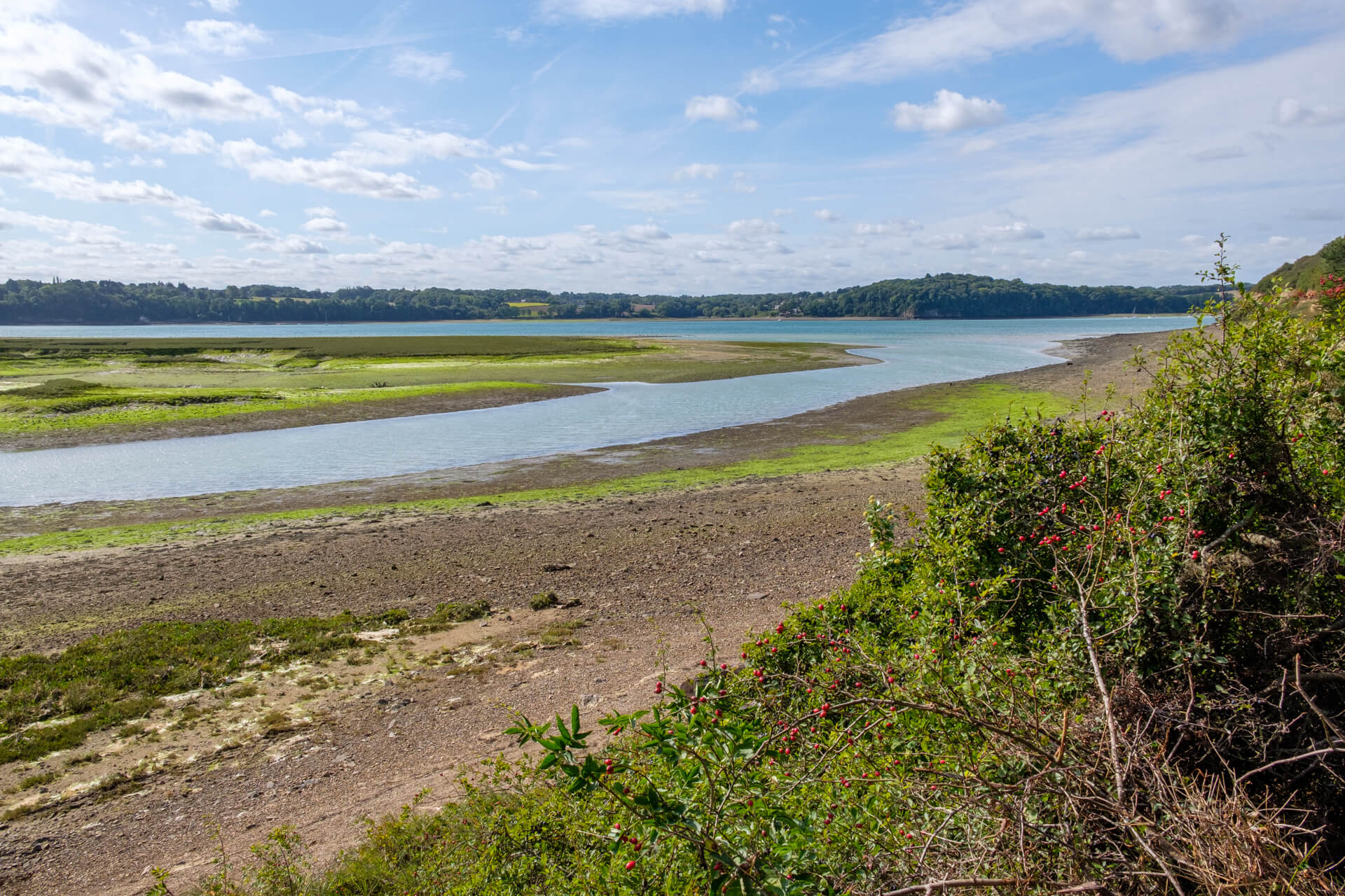
The peninsula of Saint-Suliac is located on the river Rance. At low tide, the beautiful mud flats and salt marshes appear. The route largely follows the path along the river with beautiful views along the way.
Distance: 11 km.
Time: 3h00.
Grade: Moderate.
Type: Circular.
Gps Track: Yes.
Route description: Yes.
Wheelchair: Not suitable.
Dog: Allowed.
Height gain: 196 meters.
Trail: Paved and unpaved.
Marking: See PDF route description.
Hiking shoes recommended.
Advertisement.
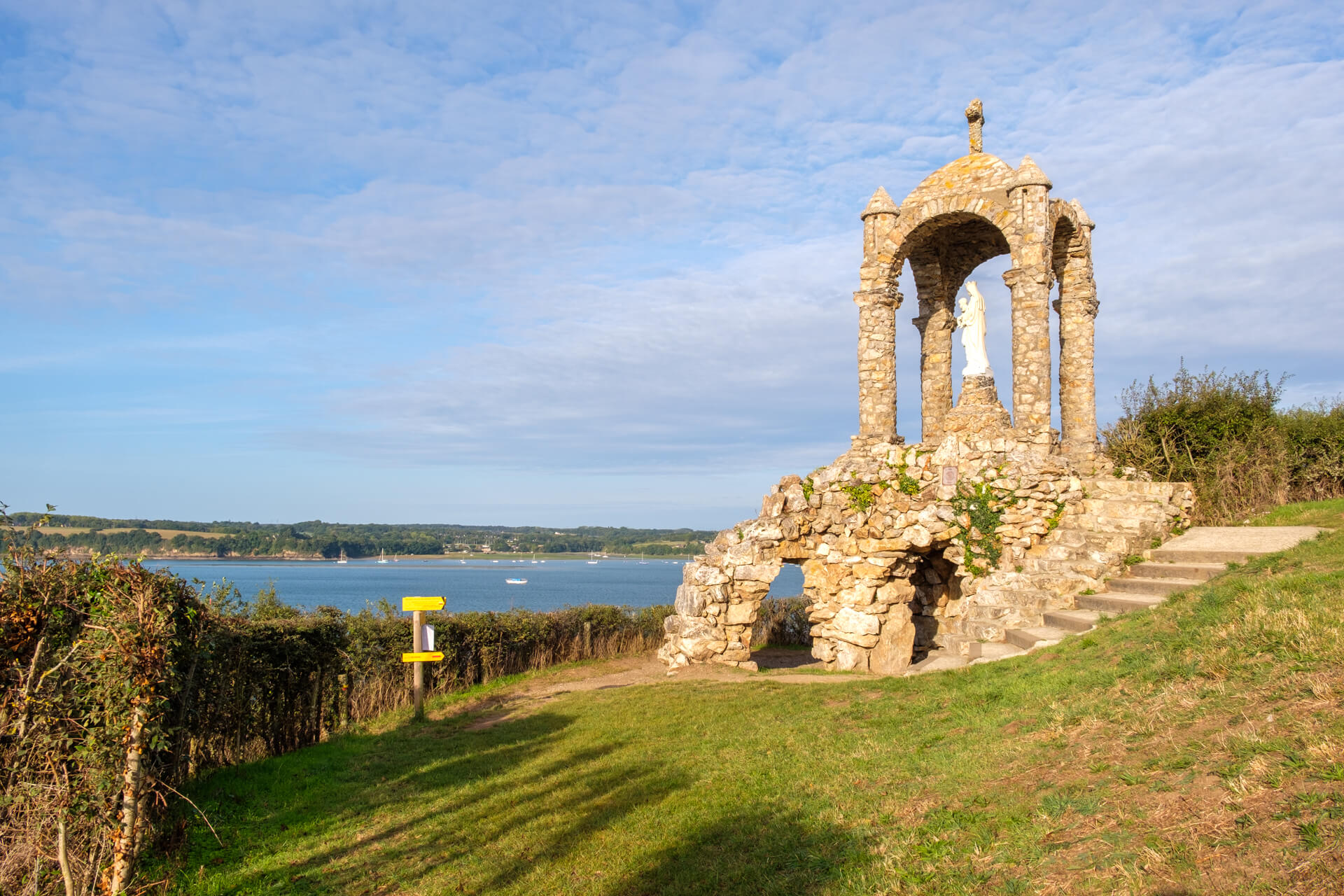
Oratoire de Grainfollet.
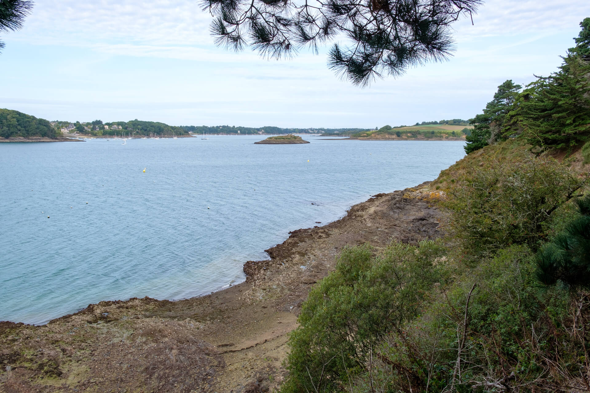
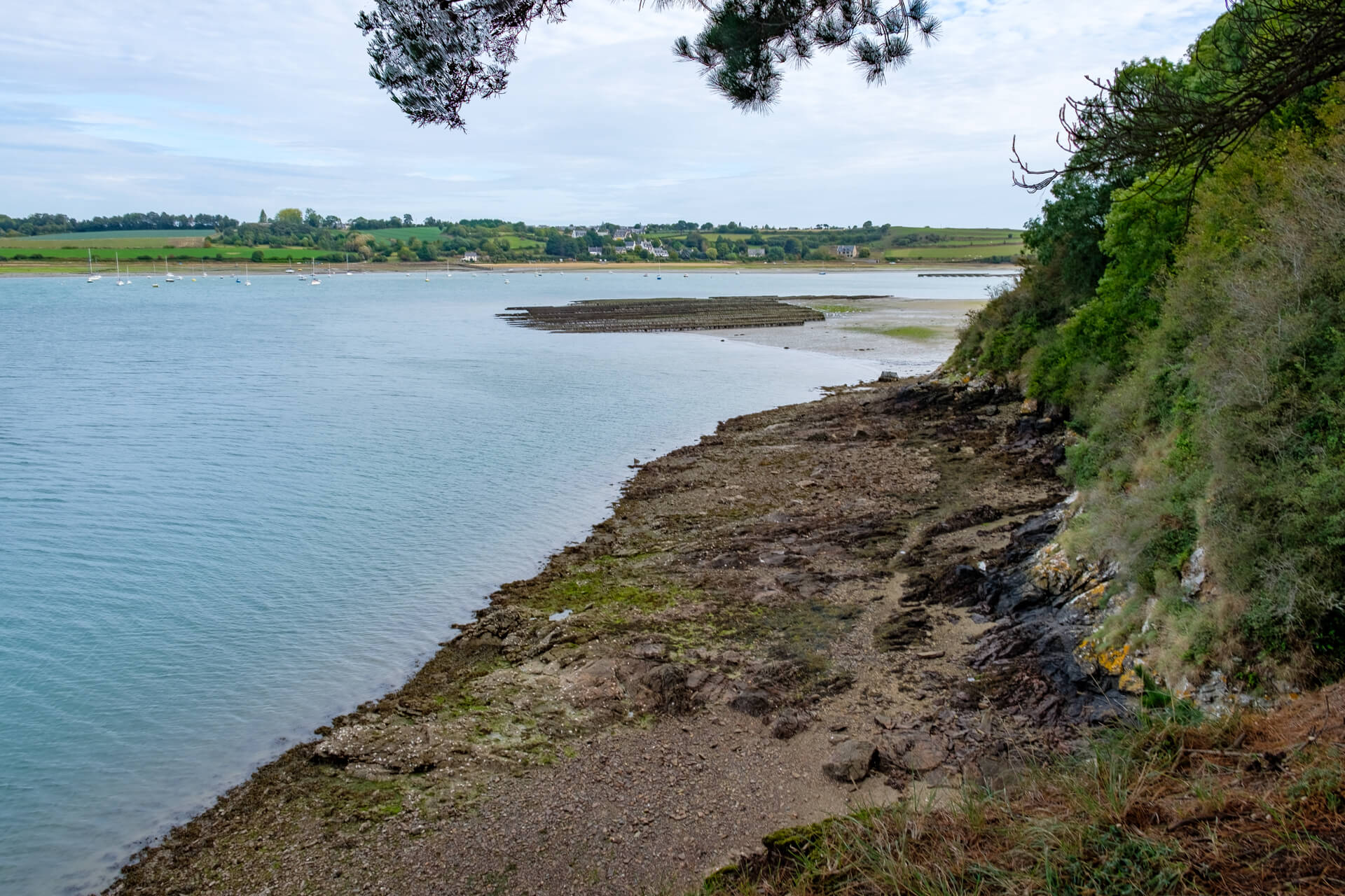
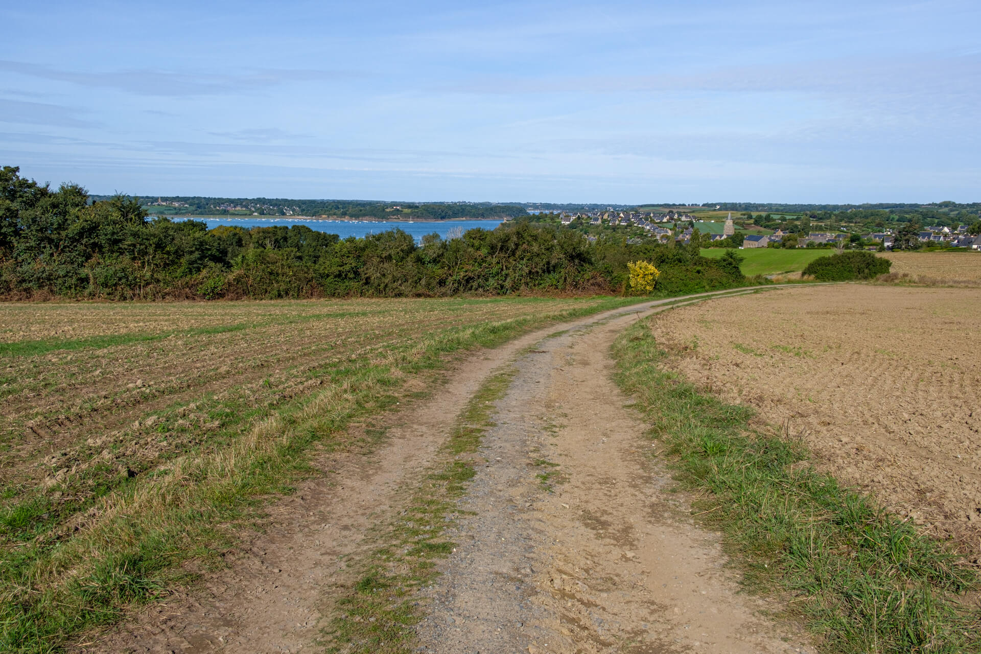
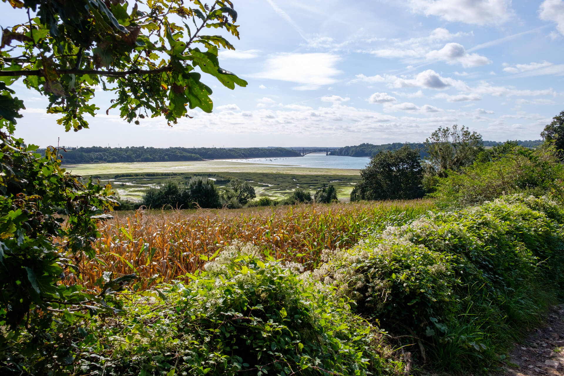
You start in the old fishing village and go to the first viewpoint at the Oratoire de Grainfollet. In 1894, the population built the Grainfollet Oratory, in honor of the Virgin Mary. They wanted to thank her for the return of all the sailors who went fishing to Newfoundland. You will now go a little away from the river to arrive at the Pointe de Garel. From here you follow the coastal path, which runs about ten meters above the river bank, to the Pointe Du Puits. Here you have a beautiful view of the river and the surrounding area. You now round the tip of the peninsula and follow the coastal path for a while. Once you have passed an old salt extraction area, you walk through a long narrow forest with old poplars. You arrive at a beautiful mud flat and salt marsh area. From here you walk part through the civilized world and then along rural forest and field roads in the direction of Mont Garrot. At the old mill Moulin De La Chaise you have an impressive view of the Rance and Saint-Suliac. From Mont Garrot you walk along the vineyard of Mont Garrot and return to the banks of the Ranc. Here you have a beautiful view of the other side of Mont Garrot with the Pont Chateaubriand as the eye-catcher. You now follow the Sentier littoral, with beautiful vistas until you reach Saint-Suliac again.
Download PDF for route description.
You can only do this route at low tide, the difference between low tide and high tide can be up to 11 meters. At high water follow the diversions of the GRP (Yellow-Red).