A varied walk in the Belgian Eifel with beautiful views at the Tommerberg, along the banks of the Our and through the beautiful valley of the Irmisch to the viewpoint at the Steinkopf.
Distance: 14 km.
Time: 3h30.
Grade: Moderate.
Type: Circular.
Gps Track: Yes.
Route description: Yes.
Wheelchair: Not suitable.
Dog: Allowed.
Height gain: 333 meters.
Trail: Paved and unpaved.
Marking: Walking nodes.
Hiking shoes recommended.
Advertisement.
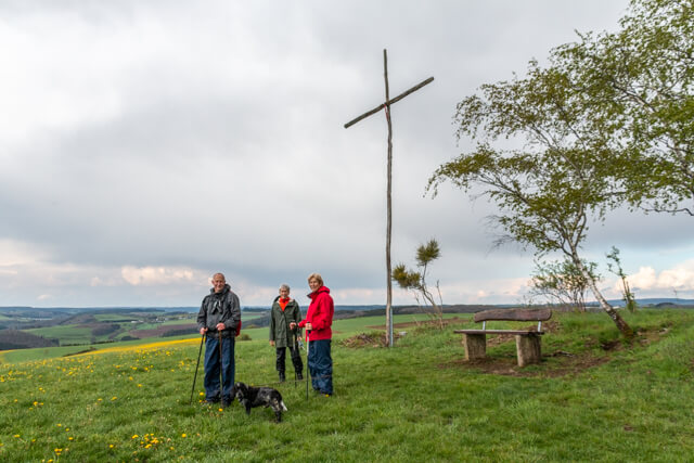
Steinkopf.
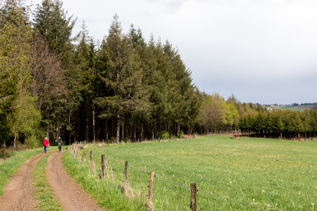
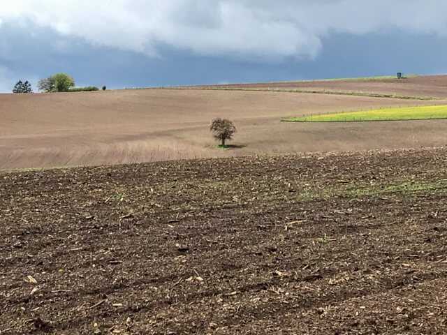
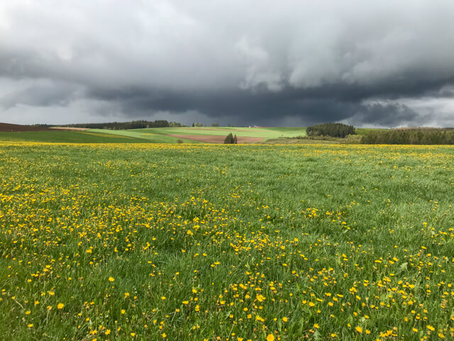
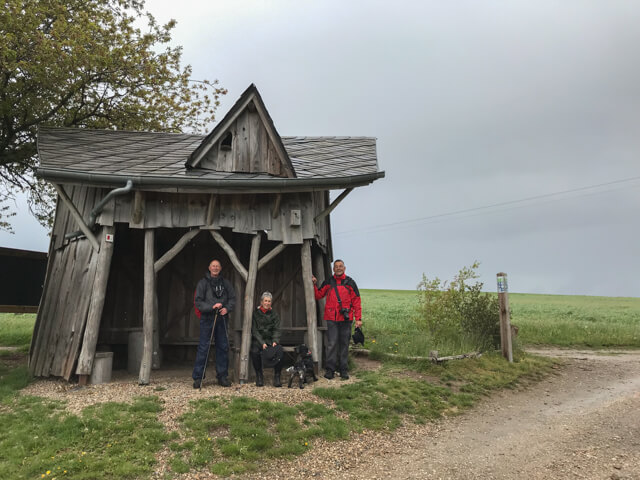
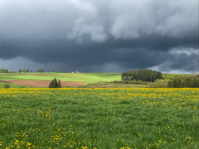
From the starting point the route follows the Vennbahn, an old railway line. You pass the old station of Reuland and then ascend through a mixed forest until you reach an open landscape. You walk to the Tommerberg on a wide unpaved road. Here you can take a break at the originally furnished hide. When you are on the Tommerberg you will not have the feeling that you are on top of a mountain, but the view is no less beautiful because of it. You now descend, first through an open landscape and later through a mixed forest to the bank of the Our. You walk along the edge of a forest to the hamlet of Auel. After a small piece of paved road you walk into the picturesque valley of the Irmisch. You follow the meandering stream and then start a short climb. You walk through an open landscape to the viewpoint at the Steinkopf at an altitude of 510 meters. Here you have a beautiful view of the region before you start the descent to the starting point.
Download PDf for nodes to follow.